
One of the main users of products derived from remote sensing data is nature conservation. Remotesensing can be used to map large areas, even in places where on-site visit is not possible. We haveprovided products obtained from remote sensing data for the observation, analysis and visualizationof several phenomena across the large operational area of national […]
Category Archives: Uncategorized

16
ápr
ápr
Engineers are increasingly relying on modern aerial laser scanning data in the planning process oflinear facilities. Over the past months, our company has produced topographic basic data andorthophotos for this type of tasks several times. We produced data for Unitef’83 Zrt. for the planningof the M8 highway and for Infraplan Zrt. for the development of […]

16
ápr
ápr
Ragweed (Ambrosia artemisiifolia) is the most significant allergenic plant of our time which canappear in almost any part of our climate zone. Accurate monitoring with traditional on-site visits isresource-intensive and inefficient. In many cases, large, weedy patches in agricultural fields,undetectable to the bare eye from the edge of the field, can produce significant amounts of […]
16
ápr
ápr
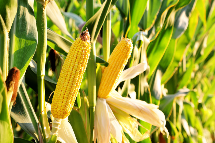
Monitoring the harvest of arable crops with traditional techniques is very costly, as it requirescontinuous monitoring of a large area and the volume of the harvest can change dynamically even ona daily basis.Thanks to the data provided by active radar systems, satellite technologies can continuously monitorsurface changes even in cloudy weather. Using active and passive […]
16
ápr
ápr
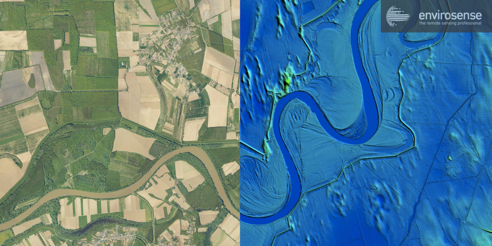
In the past two decades, several flood records have been broken in the Danube River basin,consequently in Hungary as well. High water levels and fast-flowing flood waves pose seriouschallenges for water specialists, as a flood wave brings with it economic, social and environmentalrisks. The condition assessment of the constructed defense lines and flood protection dikes […]

16
ápr
ápr
In all cases, the preparation and implementation of greenfield projects (in particular trail installationsand industrial parks) raise a number of issues that justify the use and production of geodetic data: water management in the development area (runoff conditions, designating the route ofstormwater drainage ditches, capacity planning) earthworks in the development area (e.g. backfilling of depressions, […]

16
ápr
ápr
Domestic water management is facing new challenges from floods, flash floods, droughts andincreasing demands for water conservation. These new challenges also require engineers to applyinnovative, dynamic solutions and models from the planning desk to day-to-day operations.In contrast, the catchment areas of Hungary are not measured, the lack of data is general, and aserious handicap needs […]
16
ápr
ápr
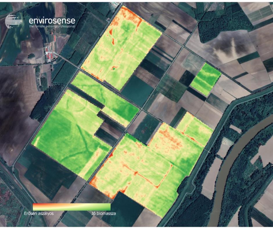
Record-breaking temperatures and a persistent lack of rainfall in our country led to a severe droughtby the end of the summer.As shown in the two images comparing 2021 and 2022, there are significant regional differences,with the situation being particularly critical in the central and eastern parts of Hungary.Biomass indices calculated from satellite imagery accurately show […]
Uncategorized
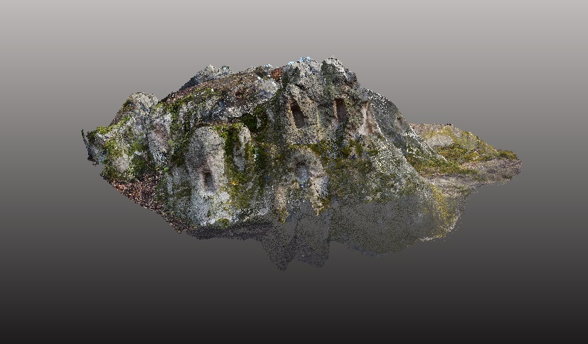
Identification of forest damage caused by bark beetle using multi-sensor remote sensing

05
szept
szept
Problem description The negative effects of climate change, such as increasingly frequent periods of drought and heat waves, greatly weaken the European pines, thereby reducing their resistance to bark beetle infections. Bark beetles cause serious ecological and economic damage; the size of damage is more than 40 million m3 timber per year, only in pine […]