


Product highlights
Orthophotos
The most widely used airborne remote sensing data during planning processes are orthophotos made by digital cameras. Although orthophotos appear to be simple photographs, they have a uniform scale like maps, objects are represented spatially, and accurate measurements are offered. Using remote sensing technologies beside orthophotos numerous products can be derived to support decision making. In the following section we present some examples to illustrate the opportunities of our technologies.
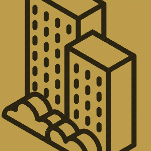
Real estate database
Database of classified buildings and superstructures is an effective supporter of municipal tasks. Using these products gives the opportunity to check existing records, identify actual property boundaries, track changes, and support other urban planning tasks. From our products 3D building models can be generated which opens brand new application areas and possibilities. Thus, we can get detailed information about the geometry and material of rooftops and it is possible to make a cadastre of chimneys and air conditioners.
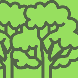
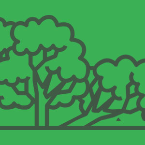
Forest management
Remote sensing data has a great added value in forest management planning. Applying our innovative solutions individual trees can be identified and tree-stem volume can be precisely determined. Our products are serviced in a user-friendly format and they can be built in easily to everyday forest management practices.
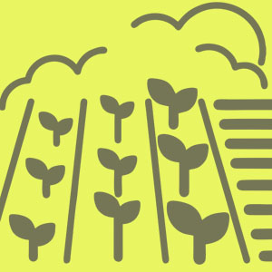
Agricultural applications
We provide wide range of products for agriculture and related business sectors (e.g., integrators, input material distributors) using satellite images. Areas of agricultural crops can be precisely identified by using our countrywide crop map. Thanks to the frequent data updates monitoring of parcels can be realized, damaged areas can be identified, and our customers can get a feedback from biomass growth as well.
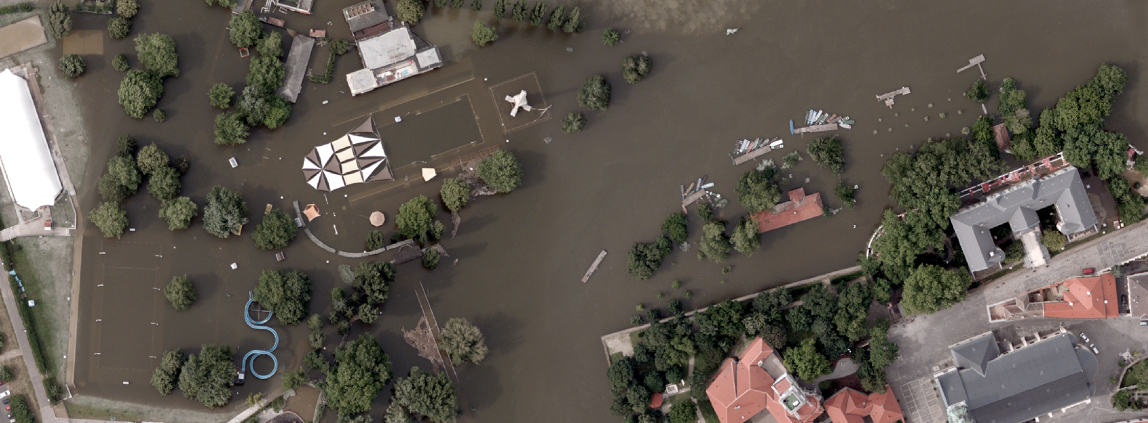
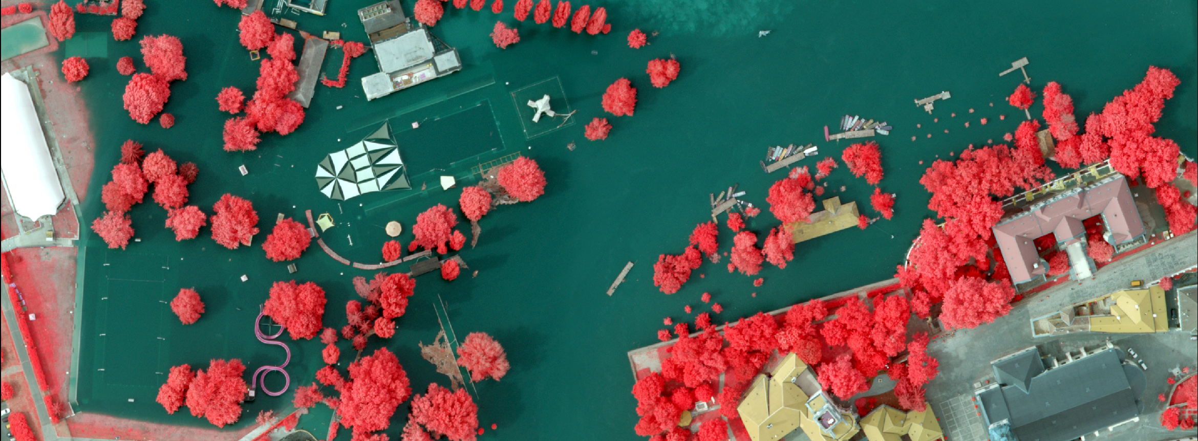
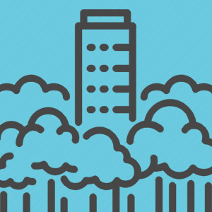
Surface models
Using airborne laser scanning geodetic surveys large areas can be mapped. Processing the gathered data, we can extract highly detailed information from the surface and other environmental objects. We can get many details about the location, shape, and elevation of surface objects, and we can also model surfaces densely covered with vegetation. The range of applications for surface and terrain models are extremely wide, they can be very useful in flood risk assessment, fieldworks for constructions planning (e.g., road network developments), as well as for raw material extraction and applications related to archaeology.
In numbers
During our national and international operations, we assess large areas with our airborne technologies and process large amount of satellite data. Using processed data, we produce various products and personalised services.
238475
Processed data (TByte)
11180000
Analysed area (km2)
16
Countries of operations

EnviMAP is a unique development made by Envirosense Hungary Ltd. It is a 24/7 online service.